Best valuePlant Integrity Visit
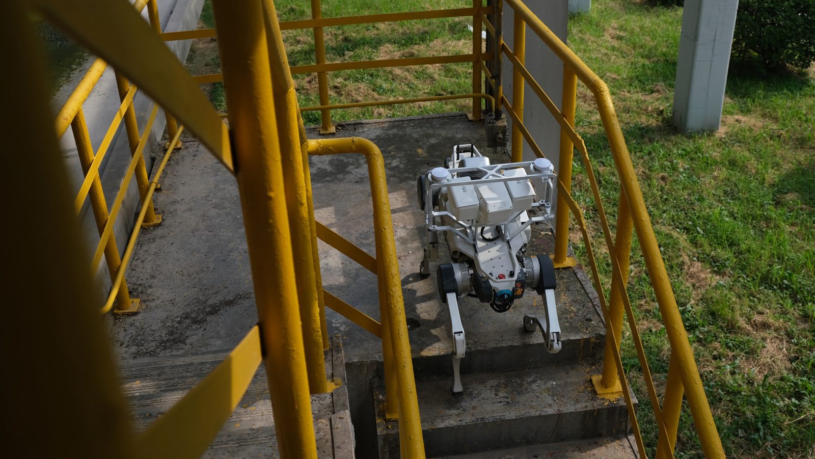
Air-Leak Audit (AED 9,500) + Partial Discharge Survey (AED 12,500), performed in the same walk. A 128-channel acoustic imaging array locates every compressed-air leak and costs it in AED per year, and listens to every switchboard for partial discharge before it turns into heat. One visit, one instrument, one report — which is why it costs less than booking the two separately.
AED 18,500 · combined (AED 22,000 separately)
CombinedElectrical Integrity Package
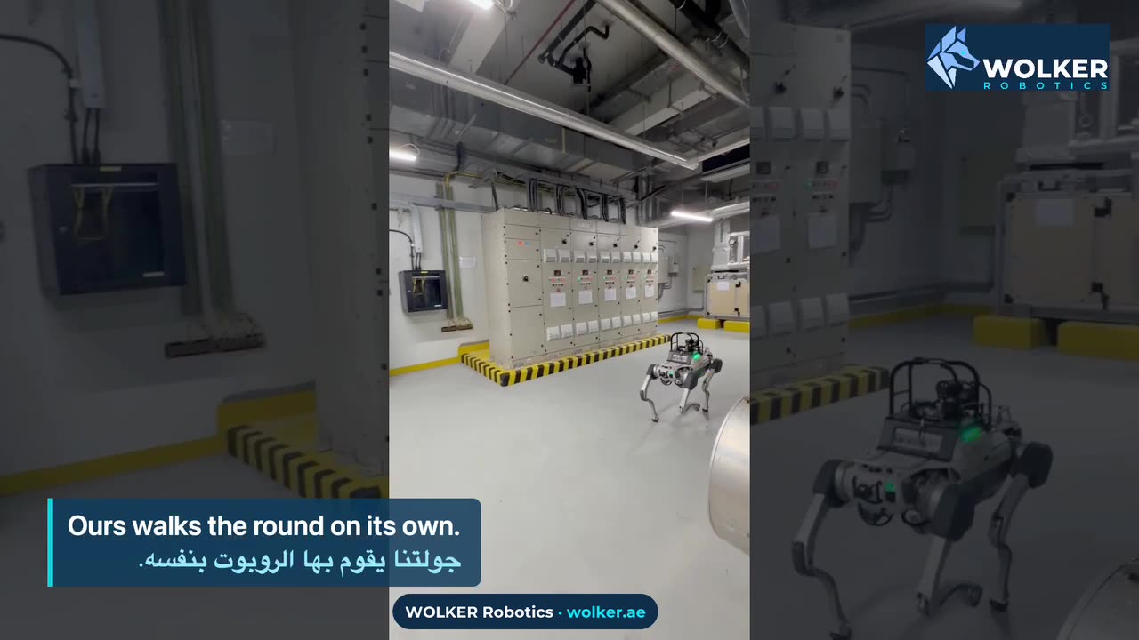
Thermography plus the partial-discharge acoustic survey on the same route: the thermal camera sees heat before it becomes an outage, the acoustic array hears the discharge before it becomes heat. Two ways of catching the same failure, one visit.
AED 15,900 · combined (AED 19,000 separately)
Compressed airAir-Leak Audit
Acoustic imaging finds every leak in your compressed-air system, pinpoints it on your plan and prices the annual loss.
AED 9,500 · per audit, fixed
ElectricalPartial Discharge Survey
Acoustic detection of partial discharge in switchgear — the fault that takes a switchboard, and the site, offline.
AED 12,500 · per audit, fixed
ThermalPanel Thermography
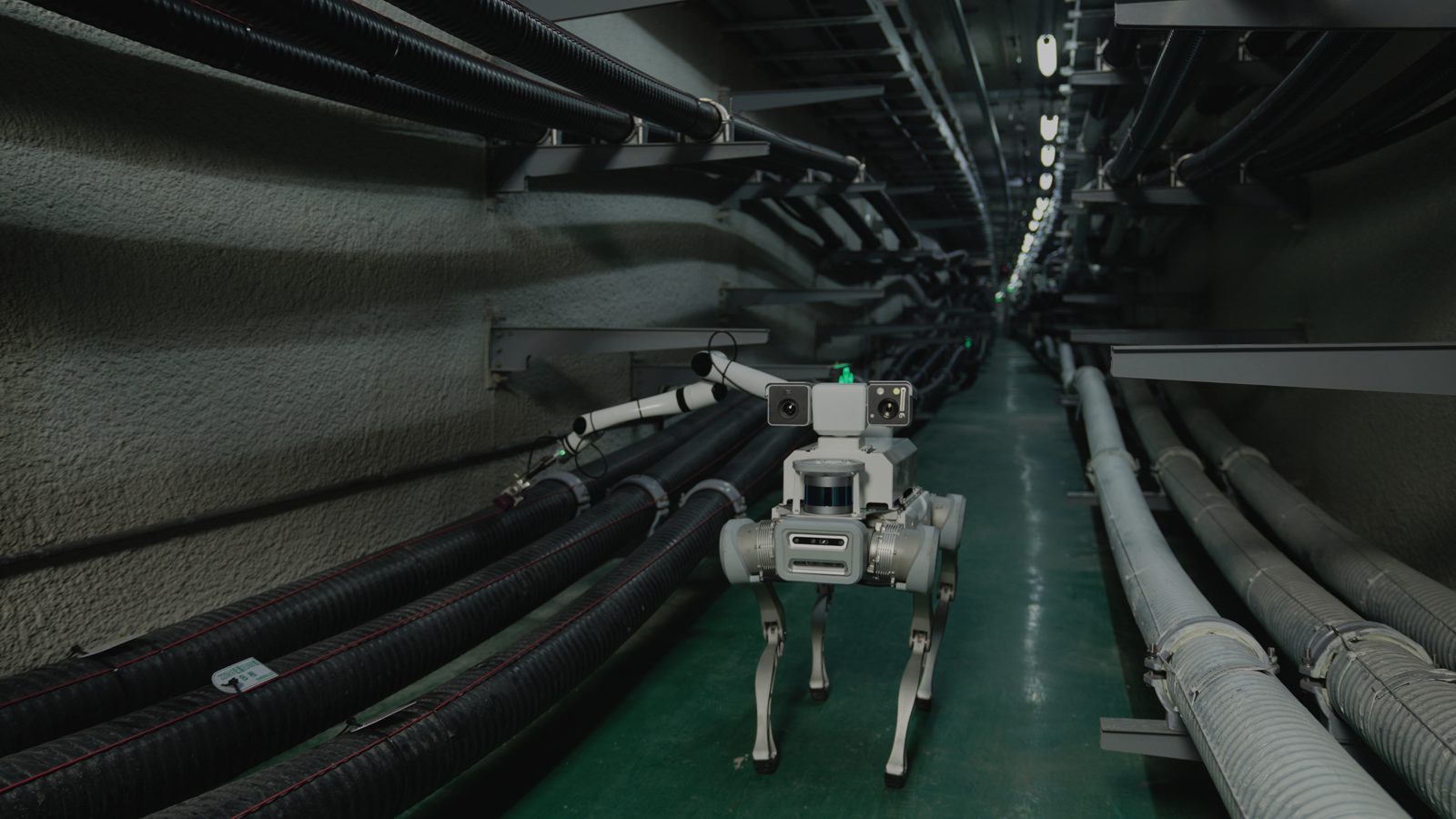
Radiometric thermal pre-screening of every switchboard between formal inspections — hotspots photographed, measured and logged on one repeatable route.
AED 6,500 · per survey
HVACHVAC & Refrigerant Check
Thermal and gas inspection of chillers, cold rooms and HVAC plant — leaks and overheating documented before they become downtime.
AED 4,500 · per visit
Gas & airGas Leak & Air-Quality Audit
Combined gas-leak detection and indoor air-quality measurement, each finding located and logged.
AED 5,500 · per audit
ConstructionSite Scan
LiDAR scan of your site: progress, volumes and deviation against your drawings. No drone permits needed.
AED 8,900 · one-time scan